
Fine illustrated manuscript treatise on map making
- Regular price
- €0,00 EUR
- Regular price
-
- Sale price
- €0,00 EUR
- Unit price
- per
S.S. [= Nicolas Sanson (1600-1667)?].
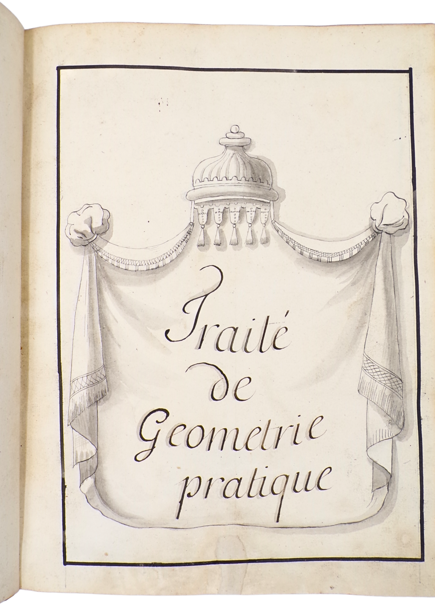
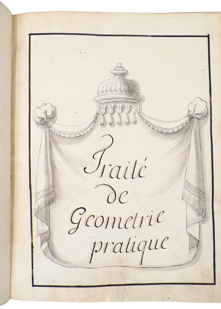
Traité de géométrie pratique.
France?, Ca. 1700?.
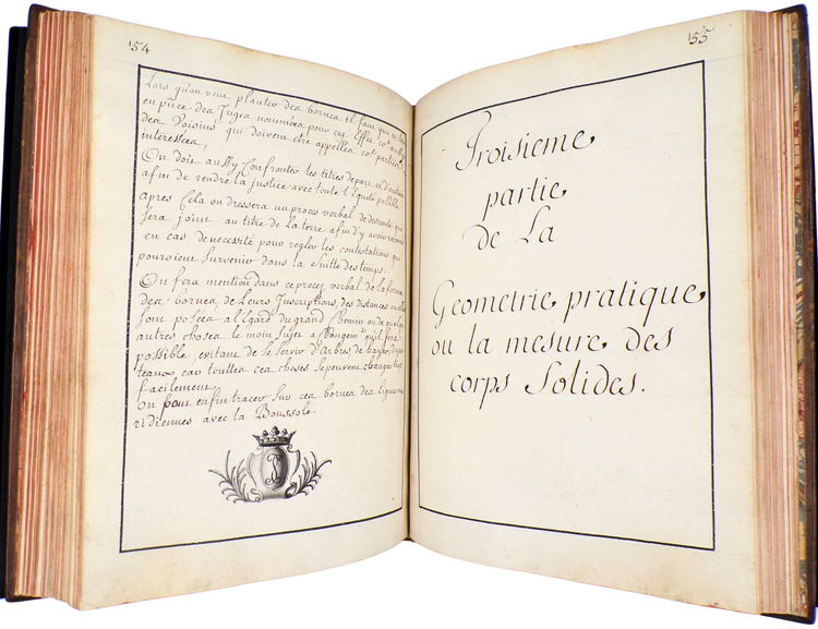
4°. 25.5 x 19 cm. [1 blank], 224 pp. Manuscript in ink on paper, watermarked with grapes (unidentified, usually in 17th cent. French paper). With ca. 100 (one full-page) partially coloured drawings in pencil, ink and watercolour.
Contemporary smoothed calf, 5 raised bands with gold-tooled spine label and rich spine gilding, gold-tooled board edges, red edges, and marbled endpapers.
A very fine and fresh practical geometry manuscript, richly illustrated with some 100 drawings, noted for their precision and exquisite coloring. This treatise on mapmaking is estimated to date from around 1700, based on its stylistic and scientific characteristics. The only cartographer explicitly mentioned in the text is Jean Picard (1620-1682). While the creator of this fine manuscript remains unidentified, it bears the monogram S.S. This has led to speculation that it might be attributed to Nicolas Sanson (1600-1667), often referred to as "the father of French cartography." Judging by the traces of thumbing on the bottom corners of the pages, it appears that the book was consulted extensively, though it remains in very good condition.
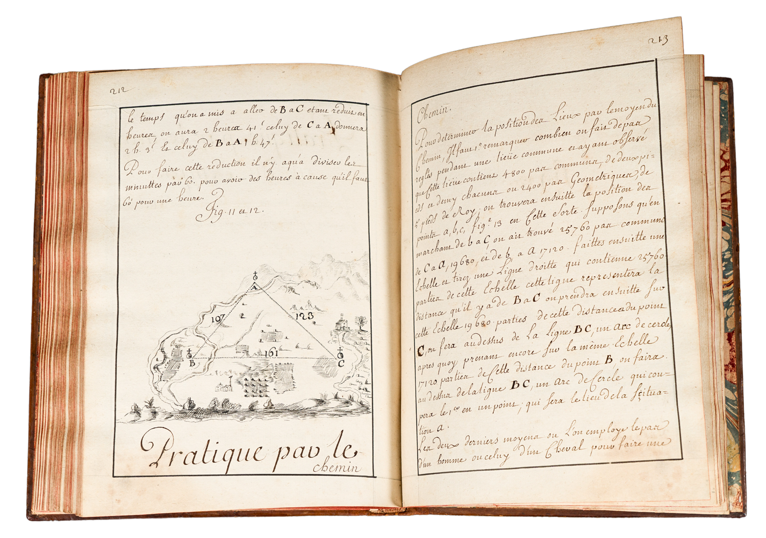
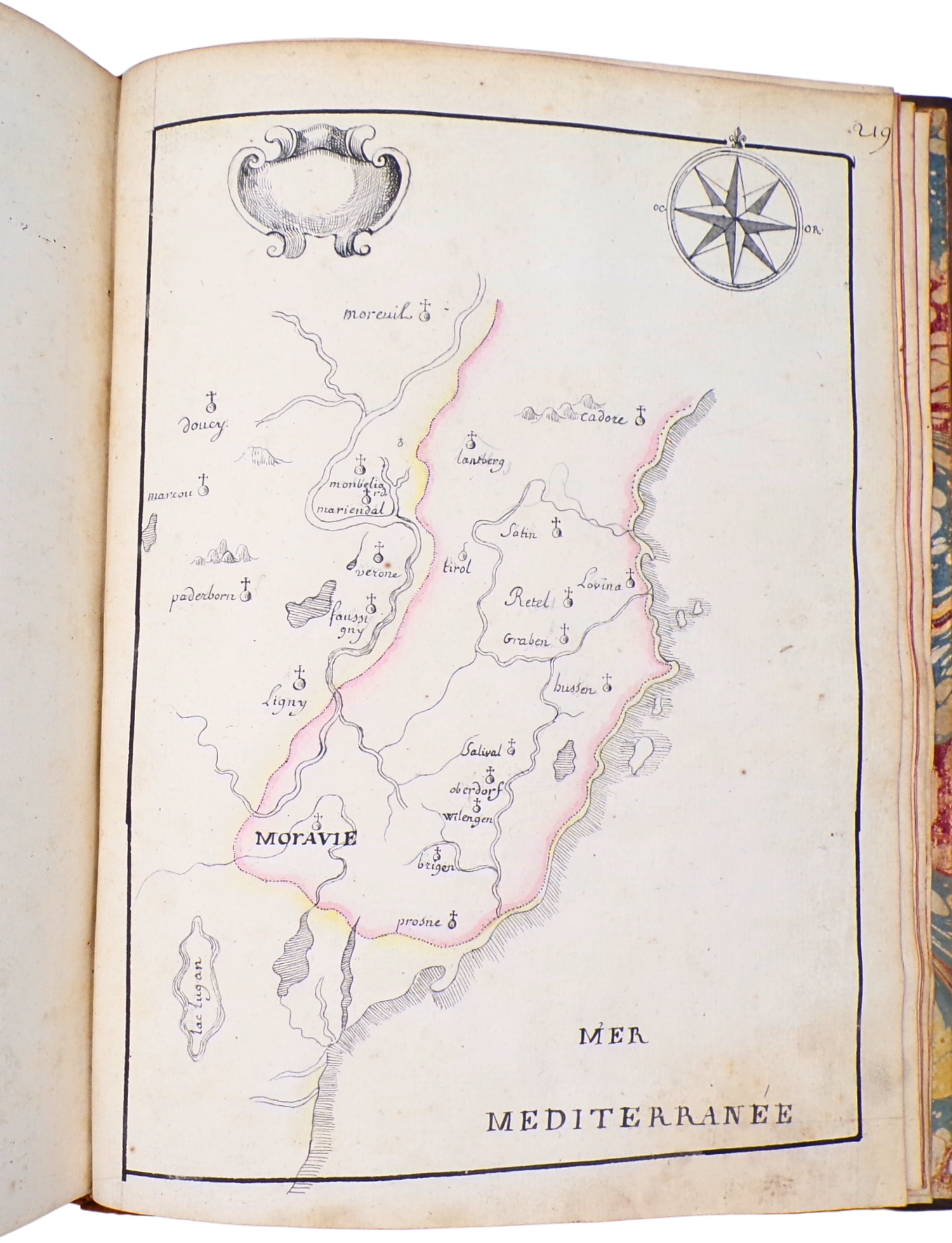
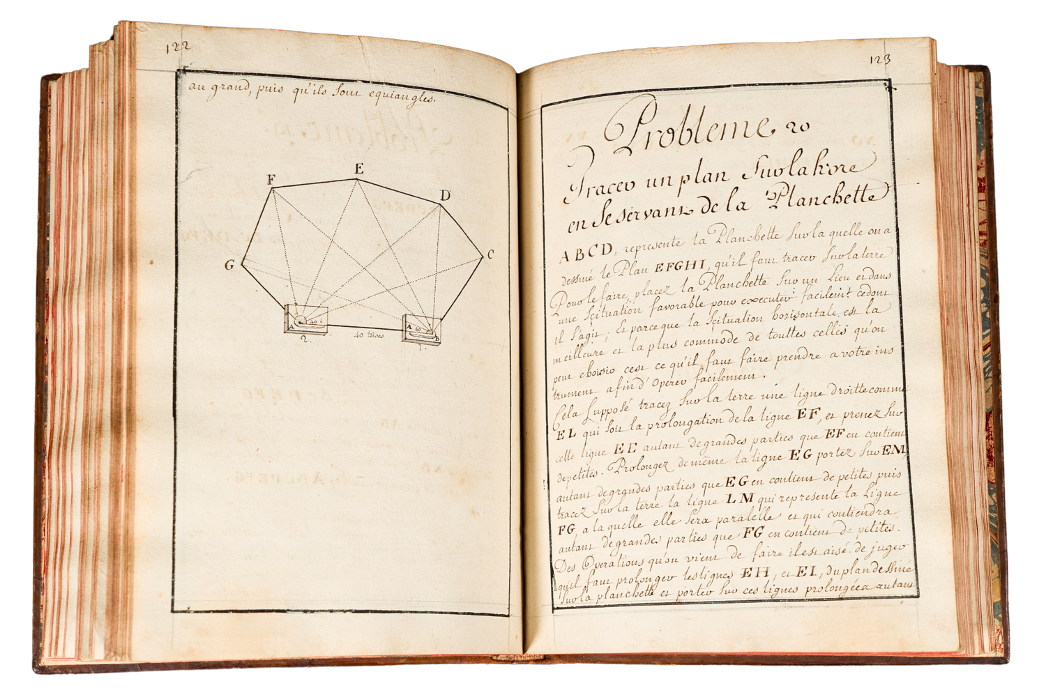
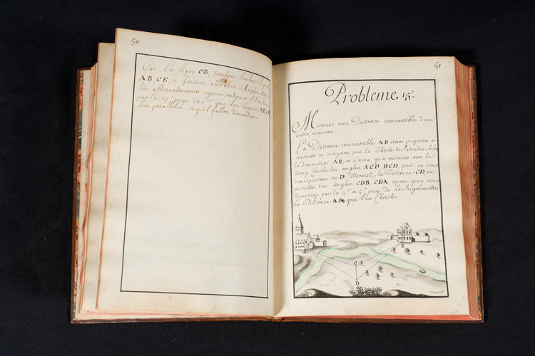
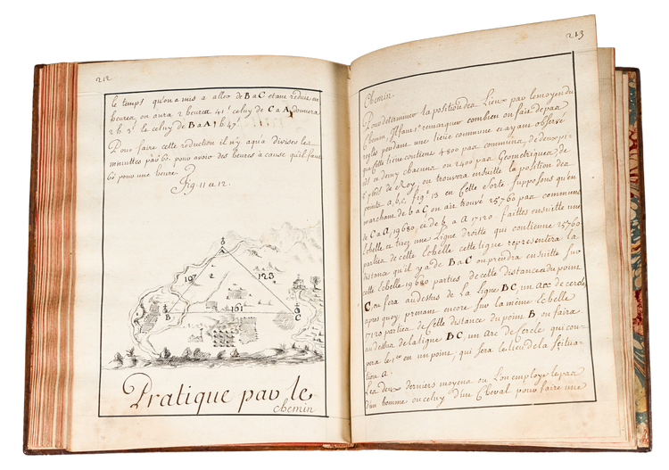
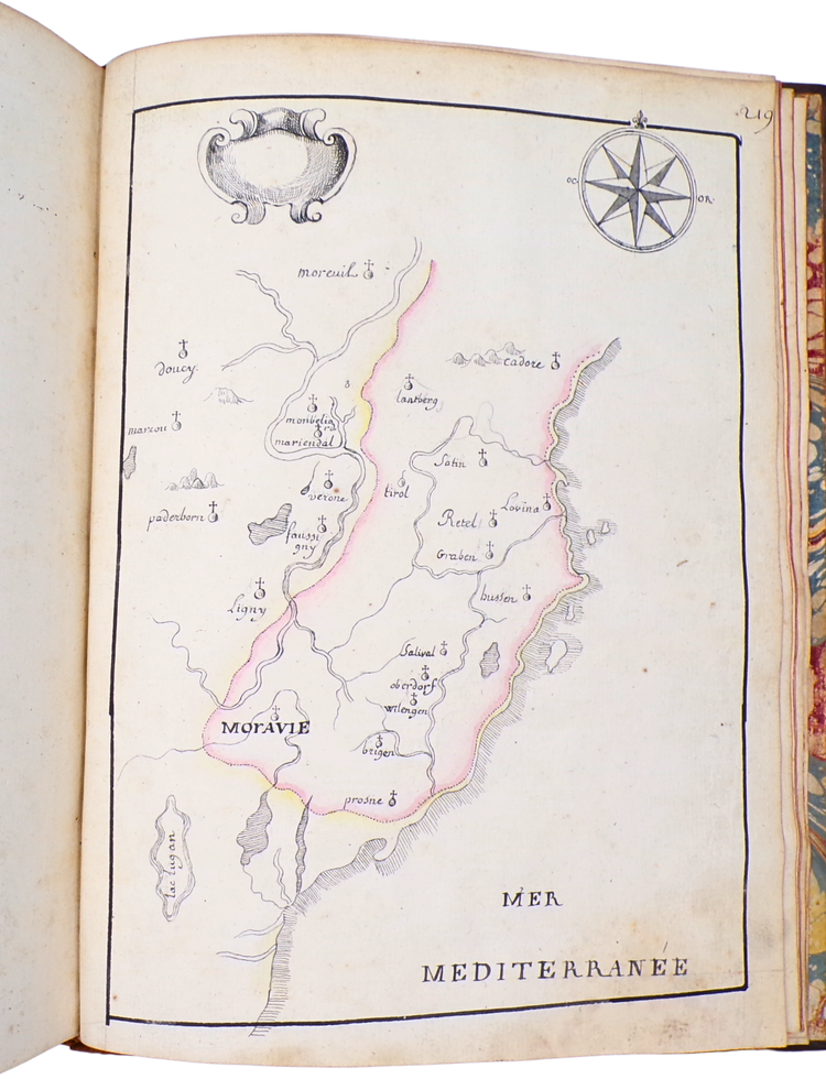
The first thirty drawings depict various examples of measuring angles, drawing lines, estimating distances (villages, rivers, fortifications), and building heights. The majority of the following drawings are geometric figures and solids, except for the last ones, which focus on creating morphological, fictional maps.
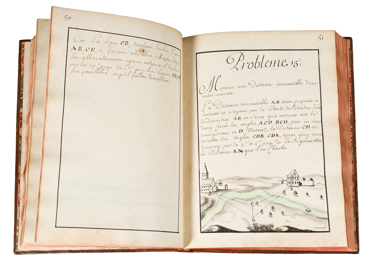
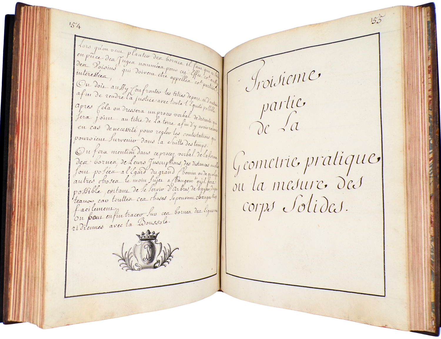
The manuscript presents a treatise on the cartographic application of geometry, containing 69 practical geometric problems, divided into three main parts. The first part concerns the measurement of lines. Using various instruments (surveyor's compass, semicircle, board, stakes, and rods), the surveyor can determine angles, erect vertical scales, measure heights, determine the width of a river or the length of a bastion, and more. The second part addresses the measurement of areas. It includes both theoretical exercises, such as calculating the areas of triangles, as well as practical examples like measuring a piece of land. The third part deals with calculating volumes. A final chapter provides practical applications of the previous sections to create a map of a province or plan a fortification and its surrounding areas.
Condition: binding slightly worn at the edges. Minor signs of use in the first few leaves only, corners thumbed throughout, otherwise in very good condition.
Couldn't load pickup availability
Share


Contact
Email: hugo@artemrarebooks.com
Phone: +31651042297
Visit us on appointment at:
Former US Embassy
Lange Voorhout 102
2514EJ
The Hague (The Netherlands)
Shipping address:
Nannie van Wehlstraat 51
2548MN
The Hague
The Netherlands