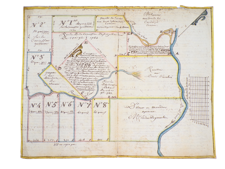
Manuscript Haitian Plantation Map
- Regular price
- €0,00 EUR
- Regular price
-
- Sale price
- €0,00 EUR
- Unit price
- per
Concession d'Antoine Clémont.
Haiti, 08-20-1752.
Watercolour and ink on laid paper with Amsterdam watermark, handwritten text in ink on verso, 34 x 40 cm.
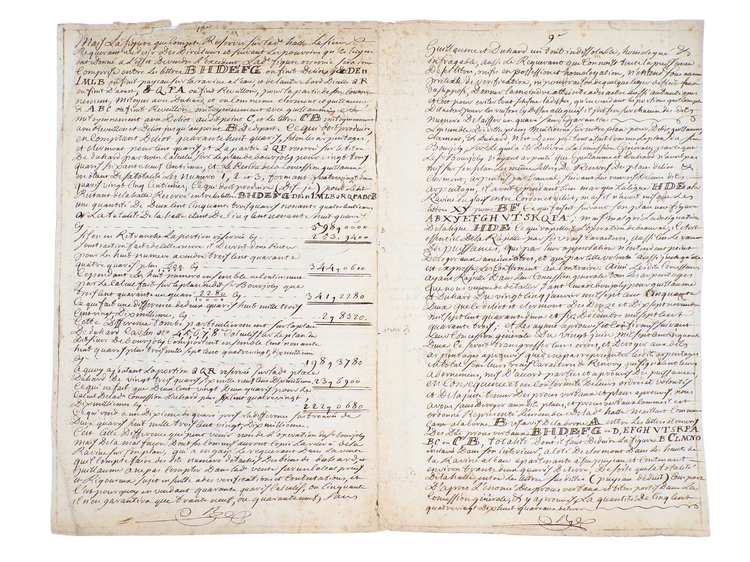
Manuscript parcel map of land concessions in the 10th and 11th ensembles of the Cayes region in colonial Haiti (Saint-Domingue). The map is centred around the parcel of Antoine Clémont and spans an area of roughly 2 x 3 km. It is dated August 20, 1752. The map counts 16 demarcated concessions neighbouring that of Clémont, among which are those of the Duc de Praslin and the Sieur de Beauval. On the back of the map, the calculation of concessions is explained at length in handwriting.
The main river on the map is named “Rivière de l’Acul”, also referred to as Acul du Sud. This river originates in the foothills of Pic Macaya within the Massif de la Hotte, flows southward through the villages of Chantal and Arniquet, and empties into the Caribbean Sea south of the port town of Torbeck, near Île à Vache. This area, known as the Cayes basin, was a large fertile stretch of land that was heavily planted and worked by enslaved African labourers.
Condition: A small tear in the top edge, two splits at the fold, slight soiling to the verso; otherwise, in good condition.
Couldn't load pickup availability
Share


Contact
Email: hugo@artemrarebooks.com
Phone: +31651042297
Visit us on appointment at:
Former US Embassy
Lange Voorhout 102
2514EJ
The Hague (The Netherlands)
Shipping address:
Nannie van Wehlstraat 51
2548MN
The Hague
The Netherlands


